Browse Items (589 total)
Sort by:
Mattress Factory Main Doorway Closeup
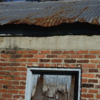
A close up of the top of the front door to the factory.
Mattress Factory Facade Picture 2
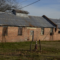
A shot taken from the "front" of the building.
Mattress Factory Facade
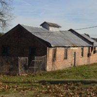
Taken from the bottom of the hill. Facing the food services building.
Mattress Factory Chain Link Fence
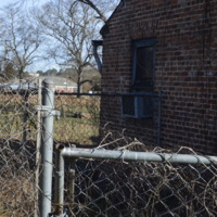
Picture of the chain link on the left side of the front of the building.
Maryland Group Inspects Hospital Division Here
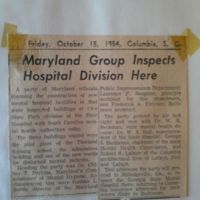
Maryland officials toured parts of the state hospital, including one of the new Maximum Detention Buildings. They were doing research for their own facility planning.
Map of the Hospital Area
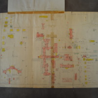
Hand drawn color map of State Hospital buildings, perhaps an early draft of a Sanborn map.
Map of SC State Hospital Buildings and Grounds
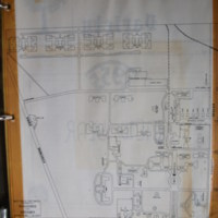
A map of the buildings and grounds at the SC State Hospital in 1954, naming "Trezevant"--showing that the building by this time had taken on its current name.
Map of S.C. State Hospital Buildings and Grounds
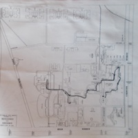
A drawn map of the buildings and grounds at the S.C. State Hospital.
Map from 1971
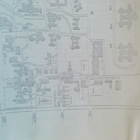
This is a map of the campus from 1971.
Main Front Entrance of Bakery
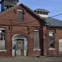
Photograph of the primary entrance to the Bakery, illustrating the Classical architecturally-inspired archways of the doorways and windows.